Tracking Data as a Service
Astro-Dynamics RTTS tasks are compatible with a wide range of object cross-sectional areas, altitudes and observational cadences – from occasional use to dedicated ground sensors.
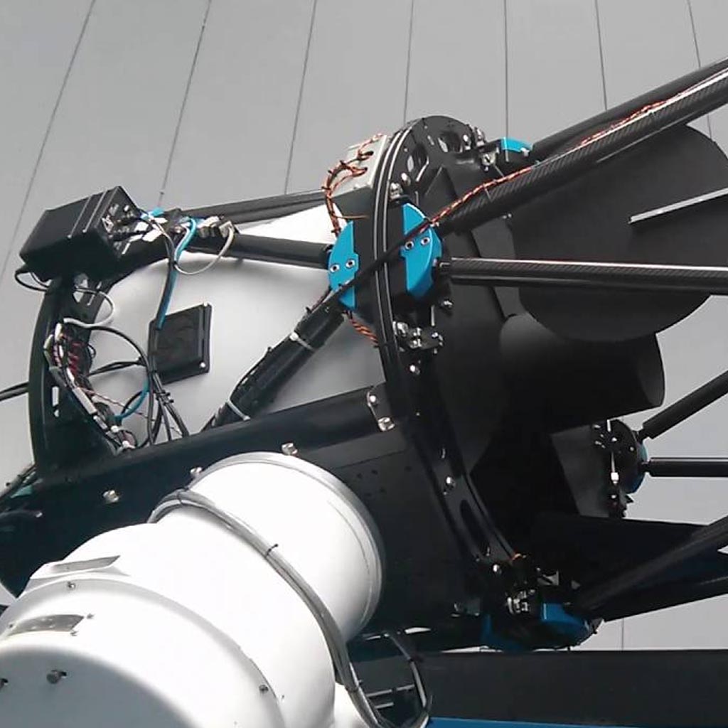
Ground sensors are tasked with space object monitoring when needed. Operating regimes include Medium Earth Orbit (MEO), Geosynchronous Earth Orbit (GEO) and Highly Elliptical Orbit (HEO). Typical accuracy achieved is 0.1 magnitudes in V-band for photometry and 0.2 arcseconds for angle measurements.
Comprehensive
Astro-Dynamics provides precise photometry and astrometry from optical sensors from visible to near-IR bands, not requiring any interaction with the spacecraft or onboard payload integration. Service is enhanced with orbit determination and conjunction warnings, supporting daily spacecraft operations, collision avoidance monitoring and rendezvous operations.
Fully Managed Network
Astro-Dynamics manages the ground sensor network, processes data in real time and provides custom data output format to match your pipelines. No investment or on-going maintenance required. Our Operations Center can implement custom monitoring scripts and reporting protocols on demand to match your mission requirements.
Competitive Advantage
Our tracking solutions delivers significant advantages for GEO spacecraft operators compared to legacy and modern tracking solutions based on other technologies, such as dual site ranging. Highly accurate data can be used to establish definitive commercial advantage.
Our service provides highly accurate information on position significantly improving on dual site ranging results, with no geographical dispersion required. Any active or passive space object can be tracked. The sensor network is fully managed and is available continuously or when needed.

- Tracking data to support spacecraft flight dynamics operations.
- Precise orbit determination even for non-cooperating or malfunctioning spacecraft.
- No expensive tracking terminals required on premises. Sensor network and data processing fully managed by Astro-Dynamics.
- Satellite operators may use our data to calibrate ranging equipment and increase the redundancy of operations during equipment maintenance.
- Full transparency from image acquisition to the delivery of final data products.
- Data delivery via secure HTTPS Portal and API.
- SMS, e-mail and telephone alerts on proximity and changes.